40 Great Flight Simulator Adventures
by Charles Gulick
Blues in
the
Night
Night
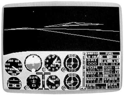
| North Position: 14974 | Rudder: 32767 |
| East Position: 6098 | Ailerons: 32767 |
| Altitude: 28 | Flaps: 0 |
| Pitch: 0 | Elevators: 32767 |
| Bank: 0 | Time: 23:00 |
| Heading: 243 | Season: 3-Summer |
| Airspeed: 0 | Wind: 4 Kts, 210 |
| Throttle: 0 |
| There are these blue runways in
the IBM version of the simulator. I
prefer to think they're moonlit. I like them because they're easier to
spot from the air and somehow seem more realistic. Perhaps they are a
later development of the constantly changing simulation. Maybe someday
we'll even see a paved JFK Airport in New York. (JFK is, after all, not
exactly one of your hometown grass strips.) Whether in an Archer or Cessna, you're in good position to get lined up for runway 24, here at Oceanside Municipal in California, though in the SubLogic version only one side of the runway has its lights working. Your takeoff will be over the ocean or, to be exact, the Gulf of Santa Catalina. You're all gassed up for a night flight to another blue-runway airport, El Monte, northeast of Los Angeles. You've met El Monte before in this book, but not at night. |
|
 |
Before you taxi out (Archer
pilots are already there; check the
position on the radar), tune your NAV to Seal Beach VOR, 115.7. You may
be too far out of range to get a heading, but the DME will give you a
distance readout. You can tell, using your chart and a straightedge, that a course of 300 degrees will take you toward Seal Beach, so you'll fly that heading until you pick up the station. Plan to turn right to your heading as you pass through 1500. Your cruise altitude will be 4500. Ready when you are. |
 |
Taxi into position and take off.
After you get your exact heading,
you're right over the coastline all the way to the Seal Beach OMNI. The
road bending in from your left toward all those lights is Interstate
15. The highway more or less paralleling the coast is Interstate 5. The first city on your route is Santa Ana, where there's an airport curiously named after John Wayne, otherwise, Orange County Airport. |
|
You may want to tune in the
Duke's tower for a weather check on 126.0. Adjust your OBI as you fly, and you'll see (if you're heading 300) that it agrees with your course. The next big metropolitan area is, of course, Los Angeles. But the airport you see almost straight ahead, at about 25 miles from the Seal Beach VOR, isn't Los Angeles International. It's Meadowlark. Watch for its beacon. Your heading should take you directly over the runway. El Monte Airport is north of Seal Beach VOR and bears almost exactly on the 346-degree radial. So as you approach Meadowlark, plan to fly a FROM course on that radial from Seal Beach. El Monte is roughly 14 nautical miles from the OMNI station, and its elevation is 296 feet. So plan your letdown and approach accordingly. You should be in visual contact slightly more than 10 miles from Seal Beach. And you'll soon see it's blue as promised. El Monte's runway numbers are 19 and 1. So now on which end of the moonlit strip will you land, the near one or. the far one? What, you forgot the wind direction? Shame! |
Table of Contents | Previous Section | Next Section