40 Great Flight Simulator Adventures
by Charles Gulick
A Place of
Your Own
Your Own
| North Position: 21827 | Rudder: 32767 |
| East Position: 6410 | Ailerons: 32767 |
| Altitude: 82 | Flaps: 0 |
| Pitch: 0 | Elevators: 32767 |
| Bank: 0 | Time: 9:00 |
| Heading: 200 | Season: 3-Summer |
| Airspeed: 0 | Wind: 6 Kts, 200 |
| Throttle: 0 |
| If you're sitting in a Cessna do
not take any left side views. You're
so close to the water you will splash into it, since for some strange
reason the Microsoft simulator seems to check where you are looking,
rather than where you are, in deciding whether or not to give you a
drenching. (To prevent the splash, you could set east position to 6409,
but that would defeat our purpose.) In the Archer, you can look all
around. This dynamic, geometric abstraction of grass, sea, and sky is no ordinary simulator scenic. You're in a very special place. A place painstakingly carved for you from an otherwise featureless and monotonous landscape. It's a grass strip, like the old days when pilots were wild-eyed daredevils, and any reasonably long stretch of grass or sandy beach would serve. Only the flying fools and a few kids who came out to watch them knew where it was. And how to get back to it. But this flying field (that's really what it should be called) is no ordinary strip of grass; it's not even in the United States. You are on your own private runway surrounded by a body of water called Juan de Fuca Strait. Precisely, you are at the southernmost tip of Vancouver Island, British Columbia, Canada. Juan de Fuca Strait is an inlet of the Pacific Ocean which flows for a hundred miles between Vancouver Island and the northwestern corner of the state of Washington. The Canadian-U.S. border is in the middle of the strait. It's easy to see the runway here, for which you're already exactly lined up, if you just imagine a right side which is a mirror image of the left. The water marks the left edge of the strip, and a similar, though imaginary, line on the right side of your windshield marks the right. |
|
 |
Take a view directly to the rear
(but not left rear, unless you want to
see for yourself what I'm talking about). Note that you're indeed right
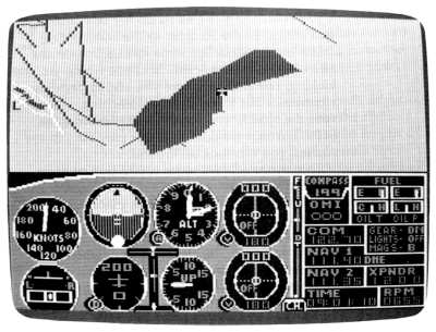
on the edge of the water. Out the right side, of course, it's all green. And before you start flying, take a look at yourself on radar. Zoom out until you see the distinct bend of the geography ahead. That's the length of the strip in relation to the strait, and you'll find it's plenty long enough. Zoom out three additional notches, and you'll see the shape of the Juan de Fuca. That's the United States across the way. One more notch (though it shows land which doesn't exist) gives you an idea of your relationship to the nearest U.S. airport, William R. Fairchild International at Port Angeles. You'll find you can tune three OMNI stations from here, even on the ground-Tatoosh, Bay View, and Paine. So you're not in any wilderness. |
 |
Now why not fly the pattern a
few times? Since it's your own strip, you
can have any pattern you like. I fly a lefthand pattern with a pattern
altitude of 1750. Do some takeoffs and landings on runways 2 and 20 and
get the feel of the area. Don't forget to use radar to help yourself
line up. It's a very distinct spot on the geography. |
 |
As a suggestion, make your first
takeoff a long one so that you'll have
an idea of how far away the water is. Use no flaps. Before you add
power for your takeoff run, give two quick strokes of up elevator. Then
to start your run, use full power followed immediately by a four-notch
power reduction (F2 followed by two F8s if you're flying the PC). Then
use no controls until you're airborne. |
|
When the land slips away under
your nose, take a look back. |
|
At some point, try a takeoff as
above, but use only one quick stroke of
up elevator (the Cessna elevator position indicator won't move),
followed by full power and then eight notches of power reduction (F2,
then four F8s on PC). And wait. The suspense is awful, but you'll see
how realistic your private flying field is. (Believe it or not, in the Cessna one stroke of elevator and power backed off six notches from full will use up all the grass, but will get you safely into the air-by a hair. Try it for thrills.) You can ink in your Canadian runway on your chart and think of it as a real place. You can give it whatever name you like. And you can fly to and from it from and to anywhere in the Seattle area. One final thought: Sometime, get into edit mode and change just the hour to something around midnight. You'll see that your private field's runway is marked as clearly as it is in the daytime. A return trip at night, too, is entirely possible. |
Table of Contents | Previous Section | Next Section