Runway USA
A pilot's guide to destination cities in Flight Simulator
by Charles Gulick
Dust Devils
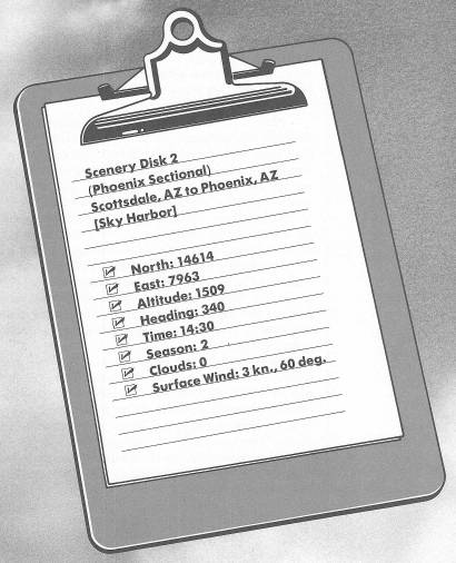
In the Phoenix metropolitan area, there are some of the longest, straightest roads you'll ever see. And one of the very longest, flattest, and straightest—Scottsdale Road—leads to this airport.
This will be like old home week to me, because when I was in the advertising business, I had a client out here, practically across the road from the airport you're sitting on. I have actually flown around the area we're going to be flying over this afternoon.
I have to tell you another story about another long road that leads outside Phoenix and into the desert. The road was like a miniature roller coaster—up and down, up and down, over endless dry gulches. We drove it at breakneck speed and in darkness, until it led to a unique dining establishment—a restaurant named “Pinnacle Pete's.”
Pinnacle Pete's had only one choice on its menu: steak, and it came only with pinto beans and salad. So all the person doing the serving had to ask was how you wanted your steak.
I ate there twice with my hosts. The first time, I sat outside on a bench at a long redwood table and ate by the light of the fire where the steaks were cooked. They were delicious. But while I was wolfing mine down, I felt a gentle nudge on my arm; I turned—to look into the friendly but hungry eyes of a goat.
The second time, our party ate indoors. Same redwood benches. Of course, I placed the same order—medium rare. But before the steak came, the waiter—who reminded me of a lumberjack or ranch hand more than a waiter—came up to me carrying a big pair of shears and swiftly cut off my tie, just below the knot. It was only then I noticed that the big barnlike restaurant was festooned with the remains of ties, snipped from other city dudes like me who didn't know how to dress for the desert.
If you ever go to Phoenix, don't miss Pinnacle Pete's. And just for kicks, wear a tie—but a cheap one.
Let's go ahead and get airborne via Runway 3. At 2000 feet turn left to a heading of 265 degrees, and get straight and level at 2500 feet.
For everything that looks green below, substitute a desert sand color in your mind. Imagine that you can see, in almost any direction, little “dust devils”—the miniature tornadoes of sand and debris that whirl dizzily along the ground, just a few feet high—changing direction at the whim of the wind.
People do a lot of private flying here in Arizona, partly because the whole desert is a runway; you can set an airplane down almost anywhere. There are also many official airports, and one is visible out of your windshield just to the right: Deer Valley Airport. If I'm recalling the airport correctly, it's a neat little fixed-base operation.
Turn right a bit, and let's circle Deer Valley for old time's sake. Circle around, keeping the airport to your left. When I flew into it, there was just one strip, so it must have grown considerably. I wonder if the same fine husband-and-wife team still runs it.
Fly wide of the traffic pattern and parallel the runways, on a heading of about 250 degrees. You'll be flying at a right angle to Interstate 17, also known around here as Black Canyon Freeway.
Off your left wingtip, if you could see it, is Taliesin West, designed by—and once the home of—Frank Lloyd Wright, and now a school for architects. When I visited the school, there were numerous students who lived right on campus—in tents pitched in the sand around the building. Taliesin West was also badly in need of a paint job at that time. In Arizona, everything seems to deteriorate, although in authentic desert colors.
Check radar as you cross the highway, and you'll see the city of Glendale, just a bit west of Phoenix. West of Glendale is Luke Air Force Base. The east/west highway is Interstate 10.
Turn left midway between Phoenix and Glendale, taking up a heading of 160 degrees. You'll have a good view of Phoenix out the left front window. You'll also be on a long base leg for Runway 7 Left at Phoenix International, also called Sky Harbor Airport. The runway you want is just beyond the point where Interstate 10 meets the city. Radar will give you a clear idea of your present position in relation to the airport, before you see it out the left front window.
When you do see it, get into slowflight, but continue on your present heading until you can spot it out the left side window, and it's about a third of the way across your screen. Time then to turn left, heading 70 degrees, and set up a nice long final approach. The field elevation is 1132 feet.
Caution: If you see a dust devil on the runway, you would be wise to go around (abort your landing, fly the entire pattern, and make a new final approach)—those little characters can spoil your afternoon.
Table of Contents | Previous Chapter | Next Chapter